Transiting the Panama Canal
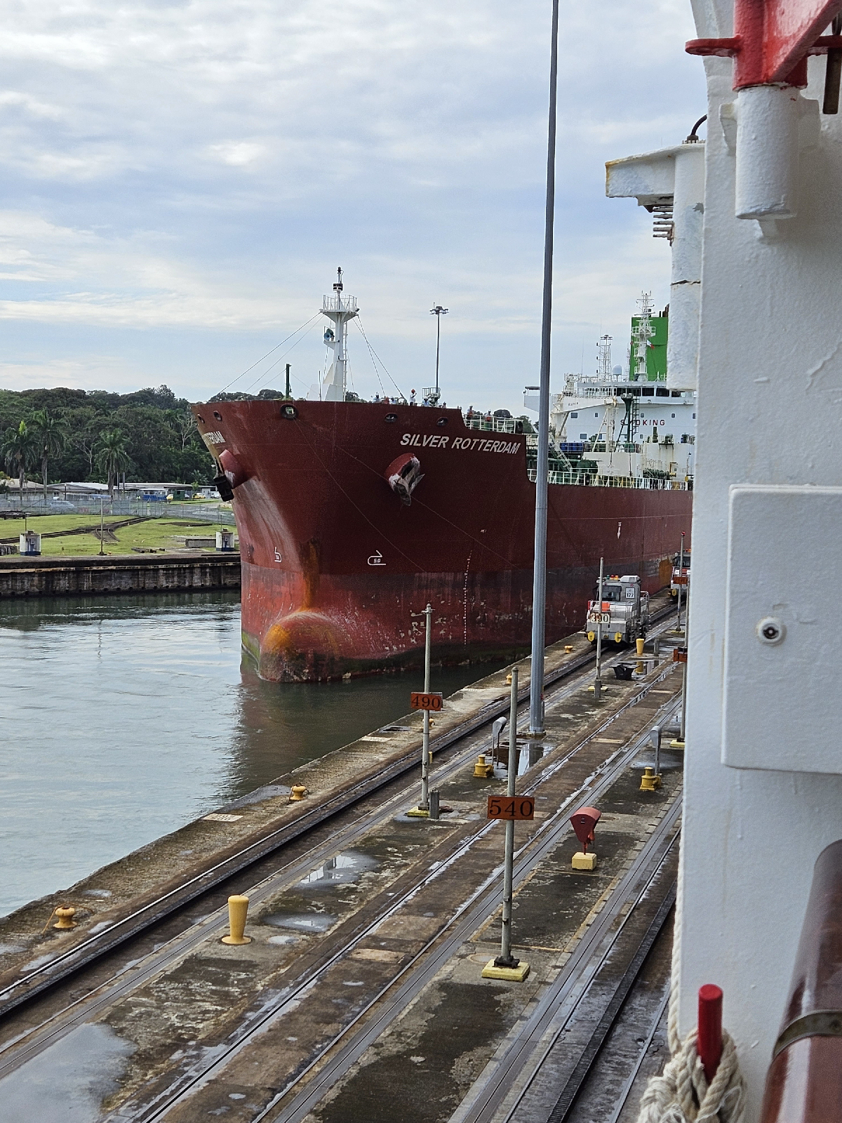
Our transit of the Panama Canal started early this morning. At 5:00 a.m. we entered the beginning of the canal on the Caribbean Sea on the Atlantic side at Colon, Panama. We were among, by my estimation, over 80 ships waiting for their turn in the canal. Each day 32-34 ships are allowed to transit the canal. Reservations are made far in advance and the fees are expensive. Our ship paid over $35,000 last year to guarantee our date and time today. Without a reservation, a ship waits its turn. The canal is 51 miles long and it takes the full day to cross to the Pacific Ocean. On the Atlantic side, ships enter the Gatun Locks and rise from sea level up to the level of Gatun Lake, a man-made lake which covers about 35 miles of the canal. The ships traverse the canal and then are lowered back to sea level on the Pacific side through the Pedro Miguel and Miraflores Locks. The elevation change at Gatun Locks is about 100 feet from entry and on the Pacific side the Pedro Miguel and Miraflores locks bring the ships down about 90 feet. Along the way we went through Gatun Lake, saw 3 bridges that span the canal, and went through the Culebra Cut, an 8 mile narrow part of the canal that spans the Continental Divide. We finally exited the canal at 5:30 p.m. As we exited the canal we saw many ships at anchor on the Pacific side waiting for their time to come. I see why we have supply chain issues!
While we were transiting the canal, the captain made an announcement that all excursions for Panama City on 11/21 had been canceled due to political unrest and protests by Panamanians opposed to a Canadian owned copper mine and the government entering into a 20 year contract with the company. Protestors believe that the mine is destroying the unique rainforest ecosystem in the area. We were to do an excursion called Panama City-Old and New but now will stay on the ship.
Everyone has been talking about the drought affecting the canal but we didn't see much obvious evidence of this. The canal looked much like it did when we came through last April.
A map of the canal
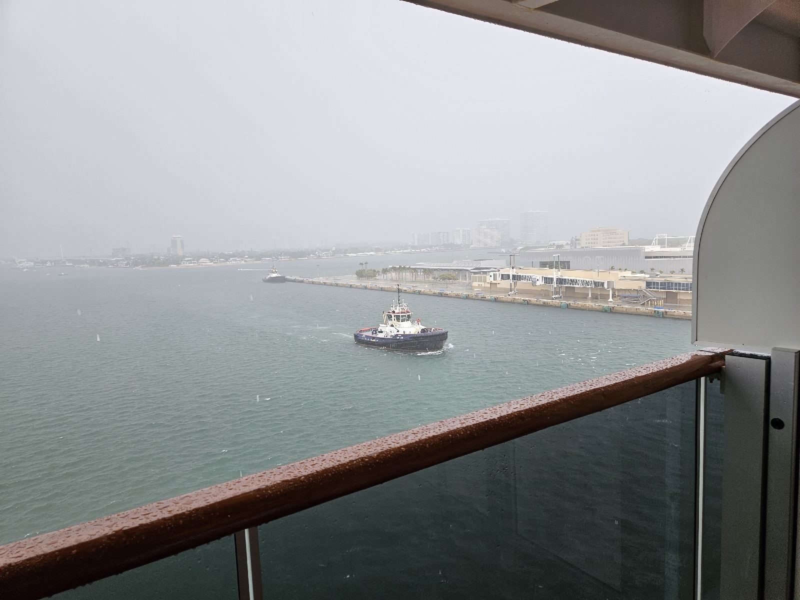
Early morning- ships waiting to enter canal
The locomotives stabilize the ship to keep it from moving side to side and move the ship forward into the lock


Comments
Post a Comment